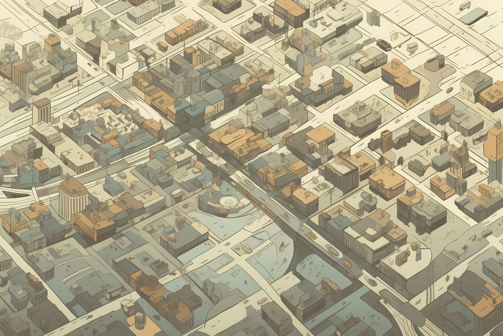
Let’s take a first look at a newer idea about Urban Development. Unpacking the concept of Isobenefit Urbanism and the meta one-mile green city, we delve into a fascinating vision of urban design that strikes a balance between accessibility, sustainability, and livability.
“Isobenefit” refers to an urban layout designed for equal proximity to essential services, amenities, workplaces, and green spaces. This concept, presented in 2014 by Luca D’Acci, extends the notion of isobenefit lines, suggesting that people’s choice of residence in a city depends on an intricate calculus of proximity to their personal needs.
What is a 1-Mile City?
The term “1-mile” signifies that these critical places, such as workplaces, amenities, services, and natural spaces, are within reasonable walking distance from any point in the city. Recognizing that “walking distance” can vary based on factors like age and personal goals, Isobenefit Urbanism aims to define a subjective “reasonable” time to reach destinations on foot.
How About Meta?
“Meta” alludes to these walkable units connecting through various public transport options like Skytrains. This interconnectedness results in a whole city that benefits from economies of agglomeration and scaling advantages while still maintaining walkable access to most daily destinations. By ensuring that all points are easily reachable through walking and accessible public transport, the city can avoid certain diseconomies of agglomeration, hit population thresholds necessary for economic viability, and foster a network of hyper-connected walking units instead of isolated walking zones.
What’s A Green City?
The “green city” element introduces the idea of integrating the city with nature, envisioning the city within a forest or a park. This approach proposes a paradigm shift in our relationship with nature, influencing urban planning at both the local and metropolitan-territorial scales. The concept of the meta one-mile green city, thus, represents a futuristic vision of urban living centered around accessibility, connectivity, and harmony with nature.
Legacy Urban Development
In the United States, the post-World War II era, particularly the 1950s and onwards, marked a significant shift in urban planning and development.
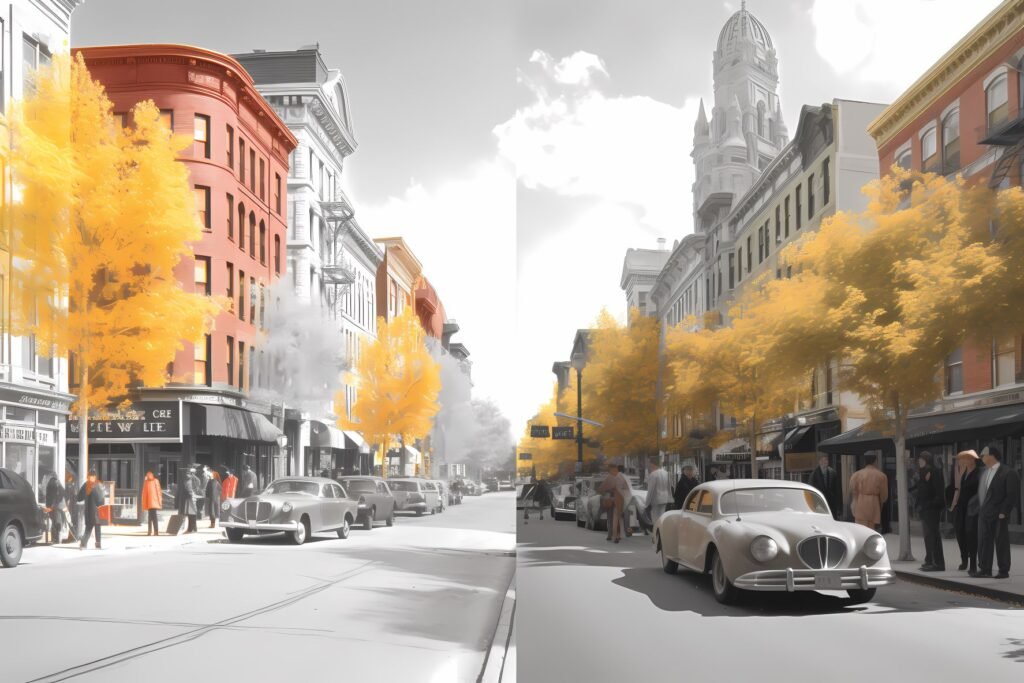
Mass production of automobiles and the rise of the middle class caused this development. The paradigm of car-centric urban planning was the cause of the creation of cities. Planners spread them out spread out mainly to accommodate motor vehicle travel rather than pedestrian movement or public transit.
How it Went Down
- Infrastructure Development: One of the primary ways cities developed for car travel was the massive expansion of road infrastructure. The Interstate Highway System, initiated in the 1950s, was critical in this transformation. They constructed extensive networks of freeways, highways, and roads, often cutting through existing neighborhoods and leading to the suburbanization of cities.
- Urban Sprawl: As road networks expanded, so did the physical size of cities. Planners often separated and spread out residential, commercial, and industrial areas, necessitating a car to move between these zones. This urban sprawl decreased population density and the growth of suburbs, with single-family homes, shopping centers, and office parks often only easily accessible by car.
- Zoning Laws and Regulations: Zoning laws reinforced car-centric development. Regulations often required new construction to include ample parking spaces, resulting in large portions of urban land dedicated to parking lots and garages. These regulations also frequently separated different types of land use, necessitating travel by car.
- Public Transit Decline: As car ownership grew and cities spread out, public transit systems often needed help maintaining ridership and coverage. Many cities saw a decline in investment in public transit infrastructure, further reinforcing the dependency on cars.
- Cultural Shift: There was a significant cultural shift towards viewing car ownership as a symbol of freedom, independence, and economic prosperity. This perceptual shift further fueled the growth of car-centric cities.
In summary, cities in the U.S. underwent a fundamental transformation in the mid-20th century, being designed and built primarily for car travel. This shift has had long-lasting implications on urban development, transportation, and sustainability, which continue to be debated and re-evaluated in urban planning today.
What Comes Next for Green Cities?
As we advance, numerous approaches to urban development will undergo real-world stress testing. Which ones planners adopt most widely will depend on how hard they are to implement.
For most cities, deciding which blueprint to follow will come down to finance and politics and which entities have the most drive to push their ideas through. Change is always challenging for hidebound bureaucracies, but a willingness to mix things up is growing in popularity. So, like we frequently write about, changing anything requires altering the current mindset. That’s true for urban development, and a battle of new ideas is heating up.
Updated 11/27/2023


